Chiba University researchers use AI to identify priority zones for vertical greenery, enhancing urban resilience and equity.
From Chiba University 06/11/25 (first released 30/10/25)

In rapidly growing cities like Tokyo, incorporating greenery is a challenging task.
With limited space for trees or parks, vertical greening—the placement of vegetation on building façades—has become a creative solution to reintroduce nature into crowded urban settings.
However, until now, there has been no clear method to assess where this type of greenery is most needed or most effective.
To address this challenge, researchers from Chiba University in Japan have created a data-driven spatial framework that identifies the best locations for vertical greening throughout Tokyo’s 23 wards.
The study, made available online on September 6, 2025, and published in Volume 132 of the journal Sustainable Cities and Society on September 15, 2025, provides the first citywide map of vertical greenery in one of the world’s densest metropolitan areas.
The research team—led by Professor Katsunori Furuya, along with Ms. Ruochen Ma, Ms. Yunchen Xu, Ms. Yan Tang, Mr. Sihan Zhang, and Ms. Yuhui Liao from the Graduate School of Horticulture, Chiba University, Japan—used artificial intelligence to analyze more than 80,000 Google Street View images.
Using a deep-learning model (YOLOv8), they detected façades featuring vegetation, such as green walls and balcony plants, to create a detailed spatial inventory of Tokyo’s vertical greening systems.
“With this study, we aimed to provide a clearer picture of how vertical greenery is distributed in dense urban areas like Tokyo and how it aligns—or fails to align—with environmental needs,” explains Prof.
Furuya. “By combining AI-based image analysis with spatial data, we can now pinpoint where greening efforts could make the greatest difference.”
The researchers introduced a new metric called the vertical greening demand index (VGDI), which evaluates where additional greening could reduce urban heat most effectively and improve environmental quality.
The VGDI integrates multiple factors, such as land use, building density, surface temperature, and pedestrian exposure to heat.
Their findings revealed an uneven distribution of vertical greenery across the city.
While commercial and residential zones in central Tokyo had some vegetated façades, several heat-prone and lower-income neighborhoods had far less greenery, highlighting the need for a more equitable distribution.
The team also identified “priority greening zones,” where adding vertical vegetation could reduce surface temperatures and improve thermal comfort for residents.
“Our analysis shows that vertical greening is not just an architectural feature—it’s an environmental necessity,” says Prof. Furuya.
“With data-driven planning, city authorities can target specific areas to enhance cooling, biodiversity, and overall urban resilience.”
The framework’s implications extend beyond Tokyo.
As compact cities around the world face rising temperatures and limited ground space, similar data-driven tools can guide the selection of sites for vertical greening to achieve maximum benefit.
Policymakers can use indices like the VGDI to inform building regulations, urban renewal projects, and greening incentive programs.
In the long run, such approaches could reshape how cities address the growing challenges of climate change. “Expanding greenery within existing built environments is one of the most urgent urban challenges today,” adds Prof.
Furuya. “Over the next decade, combining AI and spatial analysis will help governments and designers plan greener, cooler, and more livable cities.”
The study also highlights the importance of accessibility and fairness in urban environmental planning.
By visualizing where greenery is lacking, the framework allows for more transparent and equitable decision-making.
As cities worldwide strive toward sustainability goals, data-driven tools like this can help ensure that the benefits of urban greening reach all residents—not just those in wealthier districts.
Overall, this work marks an important step toward integrating artificial intelligence with urban ecology and planning.
In the future, researchers hope to refine the model by including more environmental parameters, such as air quality and energy savings, and extending it to other megacities that face similar urban heat challenges.
More info
You may also be curious about:
-

‘Space archaeology’ reveals first dynamic history of a giant spiral galaxy
-

Thousands of pico-satellites may transform how phones connect to space
-
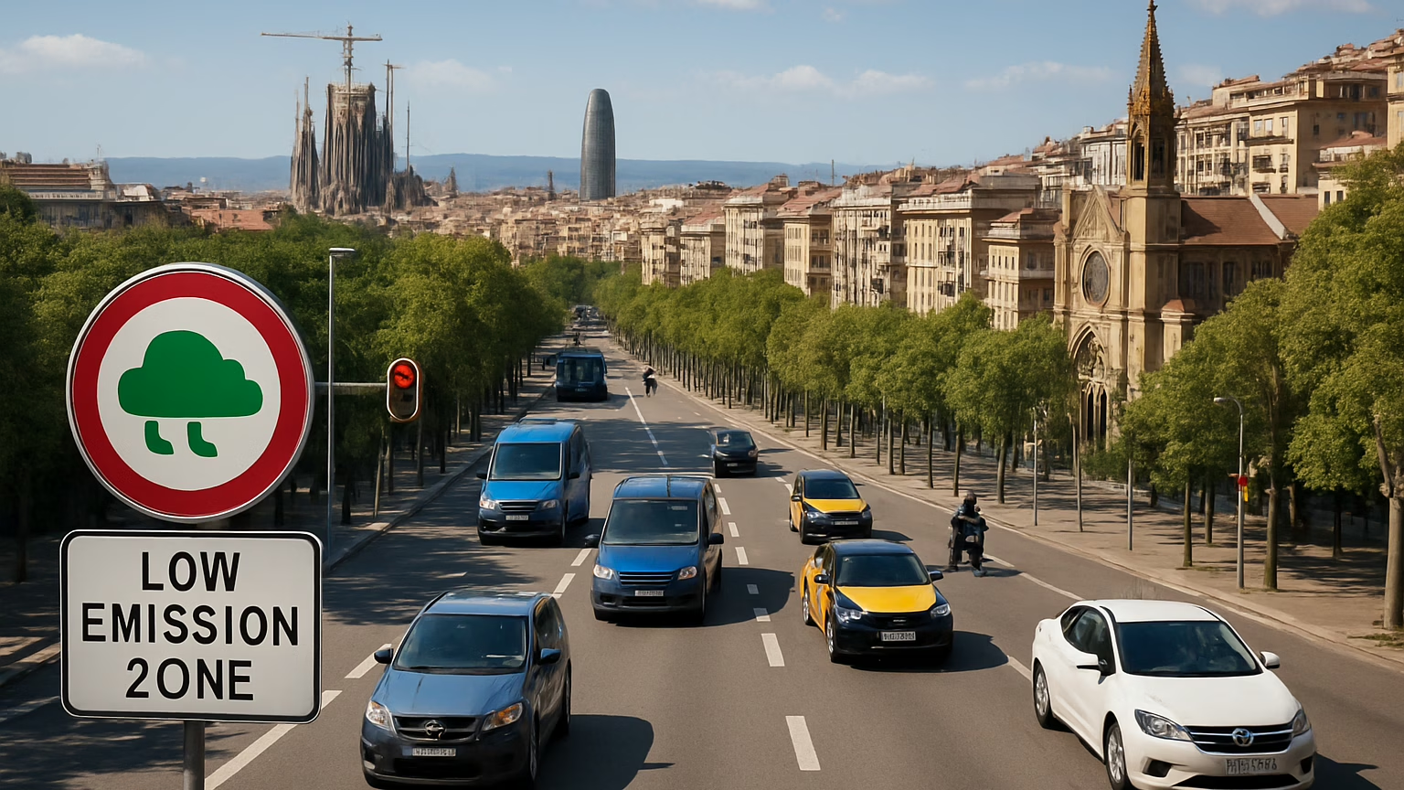
Barcelona’s Low Emission Zone reduces NO₂ levels
-

Neuroadaptive VR treatment for arachnophobia
-
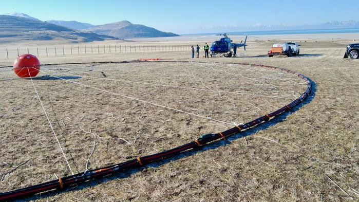
The freshwater hidden beneath the Great Salt Lake
-

Moby Dick ‘ship sinking’ sperm whales caught headbutting on camera
-

Changing shower and toilet habits could help close England’s 5 billion litre water gap, Surrey-led research finds
-

Is your brain aging faster than you are? Sleep may hold the key
-

Initial tests find lead in children’s fast-fashion clothing
-

Aquatic plant reduces antibiotics in water and genetic damage in fish
-

When the Earth moved
-

Turning sawdust into fire-resistant, eco-friendly materials using watermelon seeds