From Seismological Society of America 04/05/24

The names might not be familiar—Cowee Creek, Brabazon Range, Upper Pederson Lagoon—but they mark the sites of recent lake tsunamis, a phenomenon that is increasingly common in Alaska, British Columbia and other regions with mountain glaciers.
Triggered by landslides into small bodies of water, most of these tsunamis have occurred in remote locations so far, but geologist Bretwood Higman of Ground Truth Alaska said it may just be a matter of time before a tsunami swamps a more populated place like Portage Lake near Whittier, Alaska.
When he estimates where the risk of an Alaskan lake tsunami is highest, Portage Lake “is pretty much at the top of my list,” Higman said.
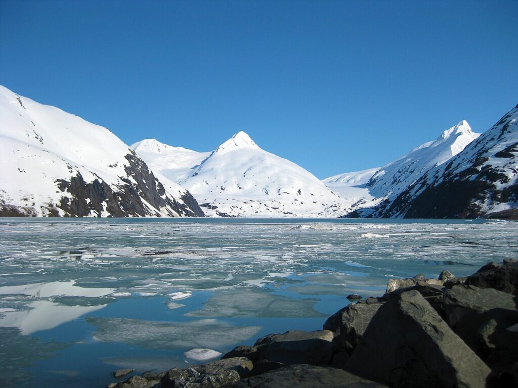
Other sites in Alaska where the risks of lake tsunamis coincide with human activity and infrastructure include Eklutna, Seward, Valdez, Juneau, Grewingk Lake in Kachemak Bay State Park and Index Lake near Glacier View.
At the Seismological Society of America (SSA)’s 2024 Annual Meeting, Higman discussed the importance of assessing sites like Portage Lake for the possibility of lake tsunamis, in part by using distinctive seismic signals connected to landslides.
“There are some cases where there are dramatic and very distinctive precursory seismic signals that precede a catastrophic landslide, sometimes by as much as days,” Highman noted.
“If we could get to the point where we understood these and knew how to detect them, they could be really useful.”
Higman calls lake tsunamis “an emerging, climate-linked hazard.”
The geological conditions that underlie the events in places like Alaska are usually similar.
Higher temperatures melt the glaciers that buttress the walls of the valley that cradles the shrinking glacier.

Without the glacier in place to hold them up, the valley walls are more prone to landslide, either into an existing body of water or a new lake created by the glacier melt.
In other areas, warming conditions are weakening permafrost that may be important to the stability of slopes above lakes.
“This is something that historically has been a pretty rare event, but in the last few years there have been a really surprising number of these,” said Higman.
The 2020 Elliot Creek tsunami in a glacial valley in British Columbia, for instance, featured a landslide measuring 18 cubic million meters in volume and a tsunami runup of more than 100 meters.
Forest and salmon habitat were the main casualties of that tsunami, but Higman and his colleagues are looking at these remote but dramatic events to find ways to prepare for tsunamis in places with more infrastructure.
“There are places where we see the same kinds of geologic instability that preceded these other events, but there are a lot of people exposed,” said Higman.
Higman said there are some parallels between the tectonic faults that seismologists usually study and “the behaviors that we’re seeing in the failure surface of these very large landslides,” suggesting that they also offer one way to study fault dynamics in miniature.
More info
https://meetings.seismosoc.org


